Applications
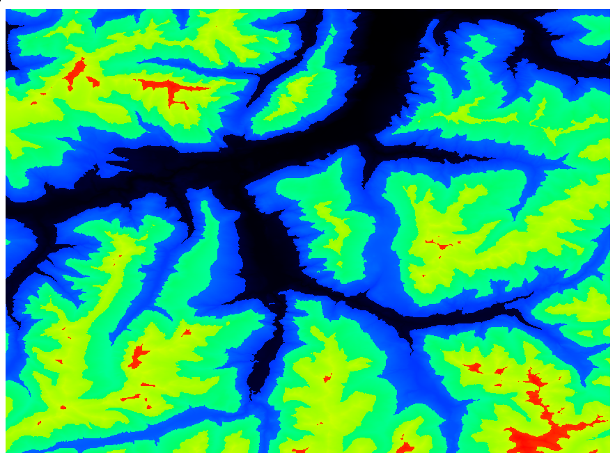
arcgrid-viewer: Simple viewer for ESRI/ArcInfo (ArcGrid) geospatial data⌗
A simple viewer for ESRI/ArcInfo (ArcGrid) files. A user can pan, zoom and rotate the rendered dataset with keyboard and mouse. The program uses shades of red (by default) normalized by minimum and maximum value in the VAT of the curent dataset. Black colour represents lower value than the red one.
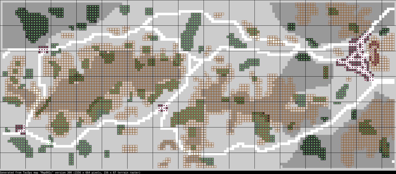
datmap2html: Render TacOps .dat map into a PNG image⌗
The program reads TacOps .dat map file and produces a nice render of the terrain and all of the features into a PNG file. The rendering style and the color scheme are similar to one found in the original TacOps simulation program (available under the menu “Terrain analysis”).
The data format used in TacOps maps is proprietary/undocumented and has been reverse-engineered by the author of this software. All “Type 3” maps found in most recent versions of TacOps are thought to be supported.
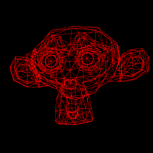
meshviewer: Simple viewer of STL and OBJ meshes written in modern OpenGL⌗
POC Viewer for STL (STereoLithography or Standard Tessellation Language) and OBJ meshes written in Haskell and modern OpenGL.
The program takes advantage of modern hardware by storing vertex data and performing matrix transformations entirely inside the high-performance GPU.